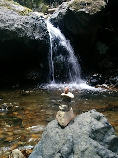
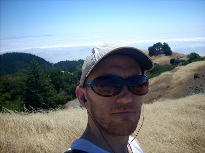
This one's for the running nerds. My route : I went over to Marin county today and did a nice 6 hour run on the north side of Mt. Tam on Marin Municipal Water District land. I've hiked and run on Mt. Tam a few times before, but always on the southern/western/Pantoll side. I generally don't like to drive to start a run, but I knew I'd be out long enough today to make it worth it. Traffic through Richmond and over the bridge is generally not that bad, and parking was easy and free, so that's points for Tam over Diablo or anything in the South Bay or on the peninsula. I started at Natalie Greene park above Ross Commons, up Tucker and Indian Rd., down a ridge to Lake Lagunitas, up to Collier springs, on Upper North Side and Benstein to Rock Spring, down the Cataract trail to Alpine Lake, Helen Markt, Kent, Bon Tempe Shadyside, and Fish Gulch back to Phoenix Lake and back to where I started. I liked the area. Not giant trees like in Muir Woods or even the French Trail in...